



Comparative Insight: Why spatial AI changes the game
City planners have traditionally balanced zoning maps, traffic counts, and community meetings. Today, spatial AI layers those inputs with live sensor feeds to give clear, prioritized actions — from evacuation corridors to asset protection. That shift matters not just for downtown growth but for emergency operations like forest fire monitoring, where speed and clarity save property and lives.

Side-by-side: Conventional methods vs spatial intelligence stacks
Conventional methods depend on static GIS snapshots and occasional aerial surveys. Spatial intelligence adds continuous remote sensing, automated hotspot detection, and predictive models that anticipate spread patterns. The difference is practical: static maps tell you where a problem was; spatial AI helps you act before it becomes critical. Agencies that move to real-time pipelines cut decision latency and reduce false alarms — measurable gains you can track.
Key technical ingredients and how they compare
Effective systems combine a few core components: UAV data capture, thermal imaging to spot smoldering hotspots, and GIS-based situational overlays. LIDAR enhances terrain understanding for evacuation route planning; remote sensing supplies multispectral views that reveal fuel stress. Some vendors focus on one layer — say, high-res imagery — while others stitch telemetry, weather, and road networks into a single operational picture. Choose the latter when coordination across teams is required.
Real-world anchor: lessons from major wildfire events
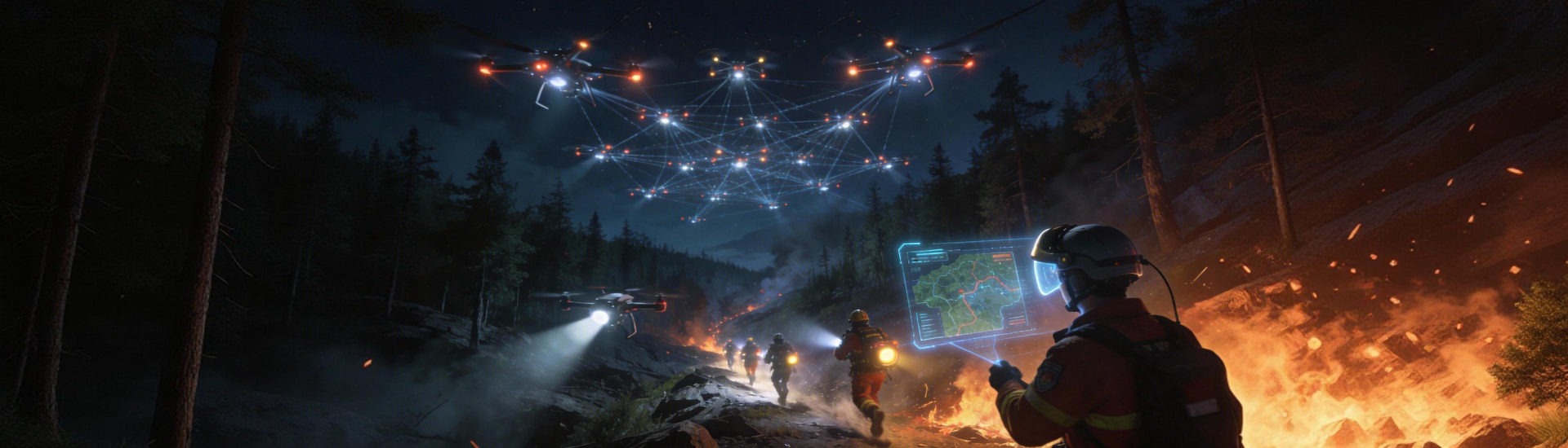
The 2019–2020 Australian bushfires exposed gaps in early detection and coordinated response. Regions that adopted UAV patrols and thermal sensors improved containment times compared with areas relying on human lookouts alone. Those deployments highlighted two truths: first, data fusion beats single-source alerts; second, planning must factor in communication reliability across rugged terrain. That practical knowledge is the backbone of modern drone wildfire detection systems deployed today.
Common mistakes and practical alternatives
Teams often make three recurring errors: over-investing in one sensor type, neglecting edge compute for latency-sensitive analysis, and under-training operators on interpreted outputs. A better path blends layered sensing with operator workflows — for example, pairing UAV thermal runs for hotspot detection with fixed tower cameras for continuous watch. Don’t assume higher resolution always equals better outcomes; sometimes faster, processed insights are more valuable.
How to evaluate vendors and tech — three golden rules
Rule 1: Measure actionable latency. Time from sensor capture to an operator alert should be explicit and contractually verifiable. Rule 2: Insist on interoperability with existing GIS and CAD systems; siloed platforms create manual work and delay response. Rule 3: Validate detection accuracy under real conditions — not just lab demos — using representative tests that account for smoke, terrain, and variable lighting. These metrics separate trial demos from operational readiness.
Implementation checklist and roles
Successful rollouts assign clear ownership: field ops manage UAV sorties, analysts tune thermal thresholds, and planners integrate outputs into evacuation models. Include an escalation matrix and routine drills. A compact checklist helps: calibrate thermal imaging sensors monthly, validate hotspot detection thresholds quarterly, and run cross-agency communication tests before fire season.
Advisory close: three critical evaluation metrics
Pick tools that score well on these metrics: detection-to-decision time, multi-sensor fusion capability, and real-world reliability under smoke and wind. Those metrics translate directly into fewer false evacuations and faster containment, which are the tangible benefits local authorities need to justify investment. Compare offerings on these axes and prioritize field-proven performance over marketing promises.
Final note
For teams that must convert layered spatial feeds into clear operational decisions, Icecypress Technology provides the integration and field focus that turns sensors into strategies. –